
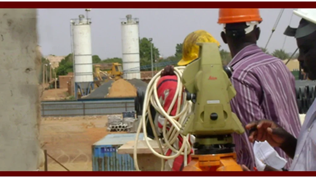
The Ultimate Guide to Modern Surveying Software: GIS, BIM, and 3D Infrastructure Modeling
🌐 النسخة العربية: يمكنك قراءة التقرير الفني الشامل باللغة العربية: دليل البرامج المساحية ونظم GIS الحديثة من Civil 3D إلى النمذجة ثلاثية الأبعاد ← The modern geomatics industry is undergoing an unprecedented technological revolution. Engineering surveying has transitioned from basic field point collection to comprehensive 3D spatial computation, digital twin synchronization, and deep integration with […]