
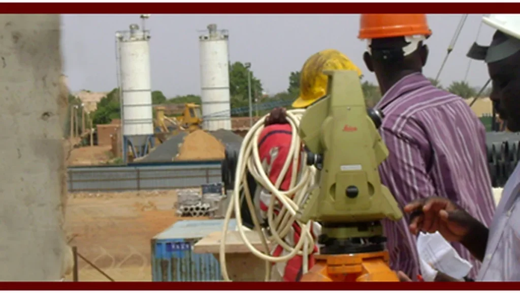
The modern geomatics industry is undergoing an unprecedented technological revolution. Engineering surveying has transitioned from basic field point collection to comprehensive 3D spatial computation, digital twin synchronization, and deep integration with Building Information Modeling (BIM) and Geographic Information Systems (GIS). In this technical guide, AlMumaiz for Engineering Surveying shares 18+ years of field-tested software architecture deployed across major infrastructure projects in the Kingdom of Saudi Arabia and the Republic of Sudan.
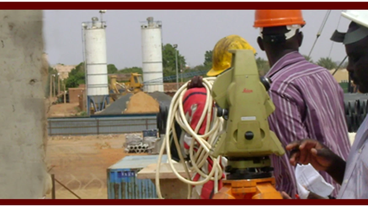
1. Engineering Infrastructure & Volumetrics: AutoCAD Civil 3D
Autodesk AutoCAD Civil 3D serves as the foundational engineering platform for linear corridor modeling, highway geometry, and earthwork calculations:
- Dynamic TIN Surface Modeling: Converting raw observations captured by multi-frequency GNSS RTK and Robotic Total Stations into rich Triangular Irregular Networks (TIN), incorporating breaklines to eliminate triangular edge distortions along curb lines and ridge contours.
- Complex Horizontal and Vertical Alignment Staking: Ensuring highway grade curves, sight distances, and cross-slopes adhere strictly to international AASHTO guidelines and Saudi Ministry of Transport standards.
- Exact Cut-and-Fill Optimization: Calculating volumetric deliverables via the composite surface method and average end area analysis, preventing contract cost overruns on major earthmoving operations.
2. Spatial Intelligence & Urban Asset Management: ArcGIS Pro & QGIS
While CAD software resolves structural and geometric dimensions, enterprise GIS suites such as Esri ArcGIS Pro and QGIS provide regional spatial governance:
- Enterprise Geodatabase Architecture: Linking topographic features with relational attribute databases—such as AlMumaiz’s municipal lighting audit in Riyadh and utility network mapping across Jazan and Dammam.
- Hydrologic Modeling & Flood Inundation Simulations: Simulating overland stormwater flows, catchment boundaries, and peak discharge vectors to protect urban expansions against severe flash flood risks.
- National Geodetic Transformations: Seamless datum conversions between international reference frames (WGS-84) and regional benchmarks (KSA-GRF17 and Ain el Abd 1970) with sub-centimeter positional integrity.
3. UAV Photogrammetry & Dense Point Cloud Suites: Pix4D & Metashape
With the rapid adoption of RTK surveying drones, photogrammetry processing engines like Pix4Dmapper and Agisoft Metashape have become indispensable:
- Processing thousands of aerial images calibrated with surveyed Ground Control Points (GCPs).
- Generating high-density point clouds (LAS/LAZ format) and millimeter-accurate True Orthomosaics suitable for direct vector digitizing.
- Producing Digital Surface Models (DSM) and calculating open-pit quarry stockpiles within hours rather than weeks of conventional traversing.
Geomatics Software Comparative Matrix
| Platform | Primary Specialty | Core Deliverables | Ecosystem Alignment |
|---|---|---|---|
| AutoCAD Civil 3D | Corridor Geometry & Volumetrics | DWG / TIN Surfaces / LandXML | BIM & Highway Engineering |
| ArcGIS Pro | Spatial Analysis & Asset Mapping | Geodatabase / Shapefiles / Web Layers | Municipal Smart Cities |
| Pix4D / Metashape | UAV Photogrammetry & Orthos | True Orthomosaics / LAS Clouds / DEM | Aerial LiDAR & Drones |
| Topcon MAGNET Office | Geodetic Network Adjustment | Traverse Reports / Trajectories | Field Instrumentation Sync |
Related Technical Resources & Links:
- Explore our advanced hardware fleet: Advanced Surveying Equipment, Mobile Mapping & LiDAR.
- Discover Geospatial Artificial Intelligence: The AI Revolution in Geomatics: Point Cloud Classification & Digital Twins.
- Review corporate services: Comprehensive Surveying & Mapping Services.
- Inspect our proven track record: Flagship Projects across Saudi Arabia and Sudan.